Graphic Image or Map of Bioregion:
(Click to expand map)
- Website: Foundation for the Bioregional Autonomy of the Orinoco Watershed
- Contact: John Stollmeyer
- Email: fbaow.npo@gmail.com
- Telephone: 868-295 -8122
- Mailing Address:
6 St. Ann’s Avenue
St. Ann’s, Trinidad and Tobago - Social Media:
–Facebook
–Youtube
Focus:
Our goal is to work with groups, neighbourhoods, hamlets, villages and Community Based Organisations in the Orinoco River Watershed to regenerate damaged ecosystems, to recognise the local, natural and human resources available and to establish polyculture systems to create self-sufficient, sustainable communities.
Bioregion Description:
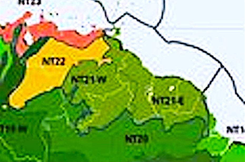
The Orinoco watershed/Guianan bioregion, located in the South American (Neotropical) realm, extends from the eastern edge of the Guiana shield, at the border of Venezuela and Colombia, to the Atlantic coast. It contains the Guiana Highlands with its rocky plateaus that are the source for many waterfalls including the world’s highest, Angel Falls. The bioregion is covered in dense tropical forest and also includes the Guianan savannas, with nine terrestrial ecoregions – Guianan Freshwater Swamp Forests, Guianan Highlands Moist Forests, Guianan Lowland Moist Forests, Guianan Piedmont Moist Forests, Orinoco Delta Swamp Forests, Pantepui Forests and Shrublands, Trinidad and Tobago Moist Forest, Trinidad and Tobago Dry Forests, Guianan Savanna – as well as significant stands of Amazon-Orinoco-Southern Caribbean Mangroves and Orinoco Wetlands. This bioregion is considered one of the most biodiverse in the world with 3000 vertebrate species and over 13,000 plant species, two-fifths of which are endemic. The total area of this bioregion is approximately 106 million hectares, not including adjacent marine areas.
Bioregional Drawings, Photos, Poems, Music, Recipes:
Video URL: