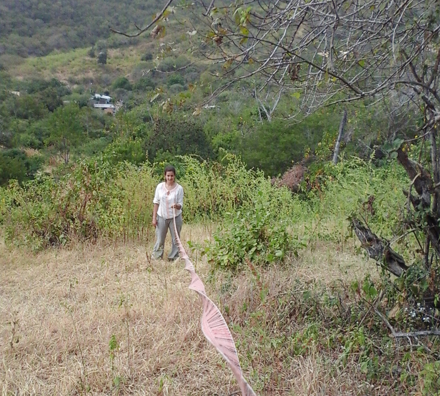
One of the main goals of the revegetation done by Planet Drum is to control soil erosion. But exactly how much erosion can be avoided as a result of revegetation efforts? To provide a quantifiable answer to this question, Field Research Intern, Nicolas, is doing a study of the rate of erosion in areas where Planet Drum planted native trees compared with areas that are lacking forest vegetation.

The objective of the study is to do a topographic survey of the selected sites every year, over the course of the next few years. The topographic survey consists of a measurement of the altitude at each meter of a 8m by 8m grid. The altitude measurement is done with a Dumpy level and referenced with an immobile concrete bollard. The measurements are utilized to calculate a referenced volume with appropriate software. Comparing the volume of the sites year after year produces to the volume of erosion. Then the erosion volume of the revegetated area is compared with the area without vegetation. This will produce a quantifiable volume of erosion that is prevented by revegetation. Several areas, each one composed of a revegetation site and a nearby site without vegetation are needed for scientific relevance.

First, sites meeting these criteria must be located and identified. Field Foreman Orlando, volunteer Mathilde, and I visited various places where Planet Drum planted trees to take measurements.
Some of the inhabitants are interested by this study and help to find sites and take measurements near the place they live.
After completing the site investigation, the best sites will be chosen and the next step will be to construct permanent concrete bollards for measurement referencing.


Thanks for sharing. I read many of your blog posts, cool, your blog is very good.
Thanks for sharing. I read many of your blog posts, cool, your blog is very good. https://accounts.binance.com/en-ZA/register?ref=JHQQKNKN